

p4ges - Can Paying 4 Global Ecosystem Services reduce poverty?
The hydrology team brings us more updates from the field.
Update from the field: the hydrology team in the Marolaona catchment
|
 |
 |
 |
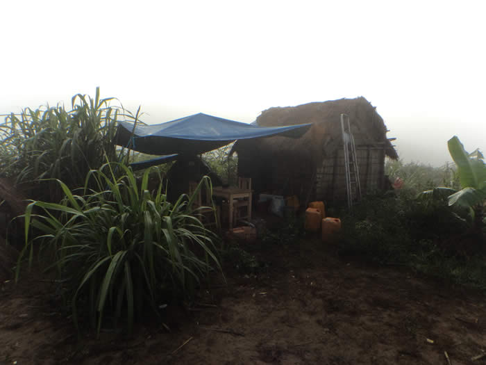 |
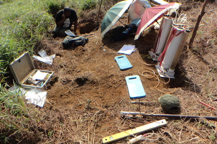
During April and May, the hydrology field team spent most of their time in the Marolaona catchment near Andasibe. This is a catchment where studies were conducted in the 1970s. We have been able to re-instrument the old weirs to look at how the hydrology has changed as soil degradation has progressed. We also carried out additional infiltration measurements for our work at the landscape scale and took infiltration measurements deeper in the soil to get a better understanding of the local infiltration and runoff processes.
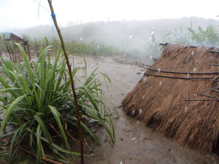
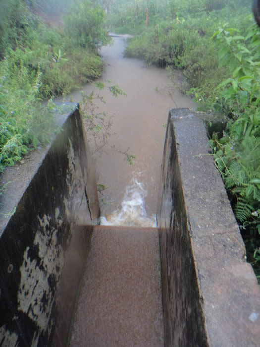
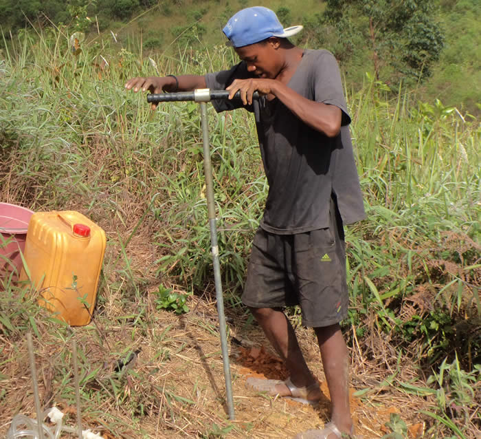
For the catchment study, we measured the discharge and took water samples. During our time in the field we experienced one large rain event: 34 millimetres in 90 minutes! This event resulted in a large streamflow peak and a lot of sediment transport; see one picture during baseflow conditions (clear water) and one picture with a high sediment concentration in the stream. Such a high sediment concentration is not a good sign for water quality or for agriculture as it indicates that the fertile top soil is being washed away.
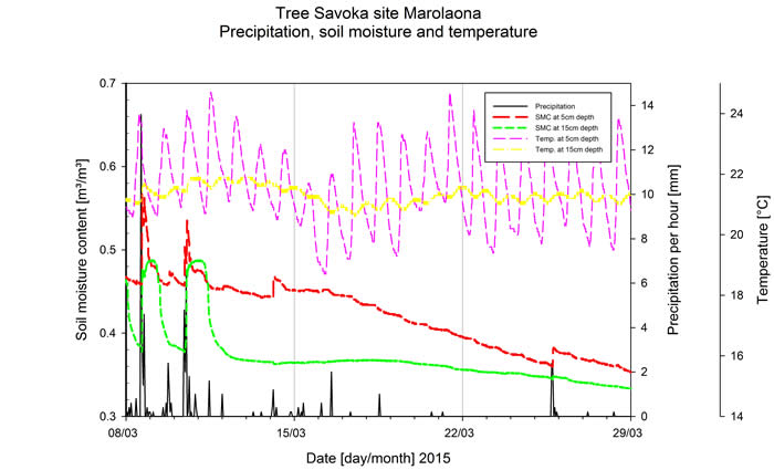
Our continuous soil moisture sensors also gave us an interesting image of the wetting and drying processes in the soil resulting from rain and dry periods. The graph shows the time series of precipitation, soil moisture content and the temperature of the soil for a tree fallow site in Marolaona. It shows that very quickly after the start of a rain event the soil moisture increases and that this increase is faster for the top (measurement at 5 cm depth) than deeper in the soil (measurement at 30 cm depth). Furthermore, the temperature measurements show daily patterns, with larger variations near the surface than deeper in the soil.
The local community is involved in this hydrological fieldwork and they are always willing to help! During our stay they helped us with the installation of equipment at the old weirs, the infiltration measurements and water sampling. In our absence the local community takes care of the rainfall measurements, as well as measurements of the amount of overland flow from three different plots.
During the fieldwork we stayed in the small village in a tent and a small hut. This gave us the opportunity to understand the way of living but also the chance to discuss the effects of land use changes and more details of our research. During the fieldwork we learned a lot from the local community about the land use history while they asked us lots of questions about our work. One of the effects of land use change was clear for the local workers who were taking the measurements-they observed that much more rain was needed for the same surface flow in a tree fallow than in grassland (reflecting the higher infiltration capacity in a tree fallow than in grassland).
We had a great time in the field and we collected lots of data; we can’t wait to start the analysis of the data and the water and soil samples to show how the hydrology in this particular catchment has changed and how this is related to land use changes at the landscape scale.
Date:15 June 2015
Maafaka Ravelona and Bob Zwartendijk

p4ges - Can Paying 4 Global Ecosystem Services reduce poverty?
tel: +44 (0)1248 382650
email: info@p4ges.org
Copyright © 2015
Privacy and Cookies